Juhlin Remote Pilot Consulting
Integrating Aerial Technology, Spatial Intelligence, and Regulatory Insight for Strategic Advantage
Leveraging over a decade of comprehensive leadership across the Canadian drone (RPAS) and spatial technology landscape: from field operations and advanced GIS analysis to C-suite strategy, manufacturing insight, and national regulatory development - to navigate complexity and unlock your organization's potential.
Its not that the path is too hard
Its that not enough people have the map
Our Mission is to empower Canadian organizations by translating complex aerial systems (RPAS/AAM), advanced spatial data (GIS/Remote Sensing), and regulatory landscapes into clear, actionable strategies. We achieve this through expert analysis, collaborative problem-solving, and integrating deep, multifaceted industry experience to unlock potential, ensure compliance, and drive innovation.
Principal
Dan Juhlin
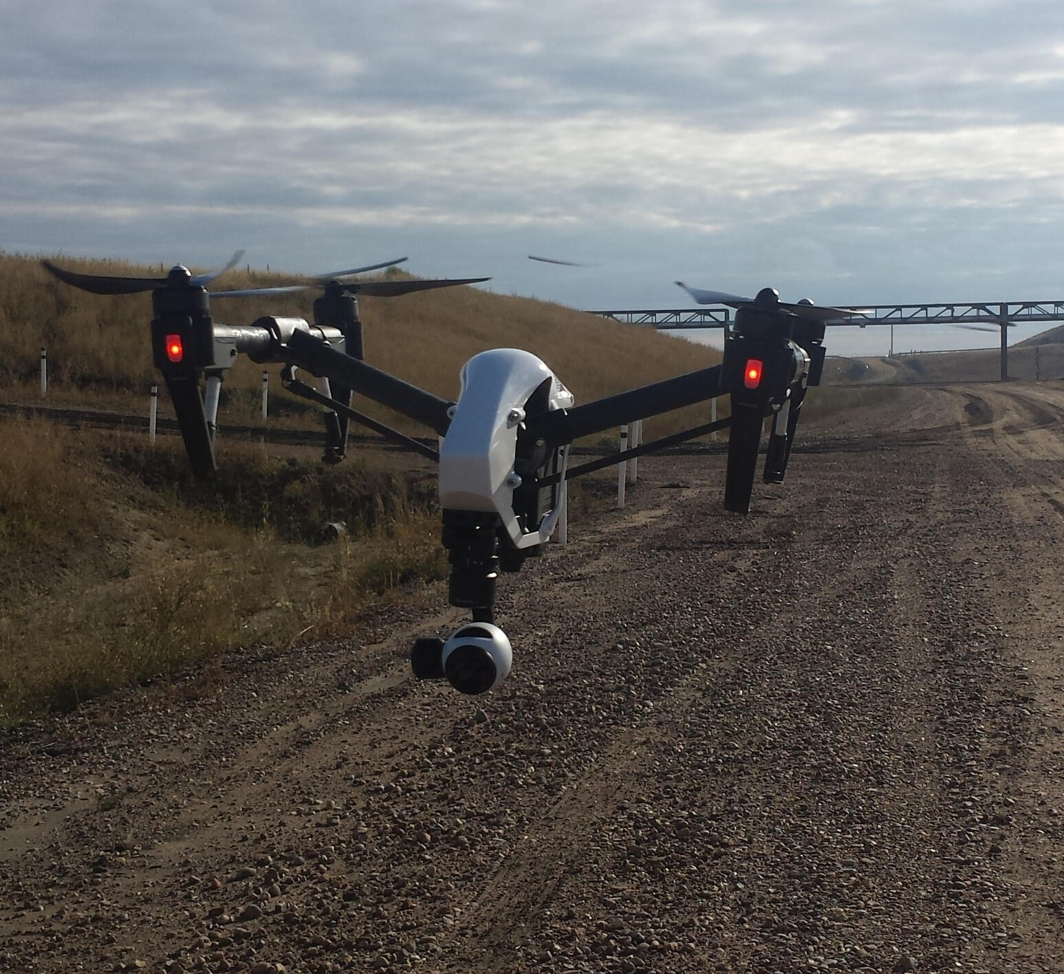
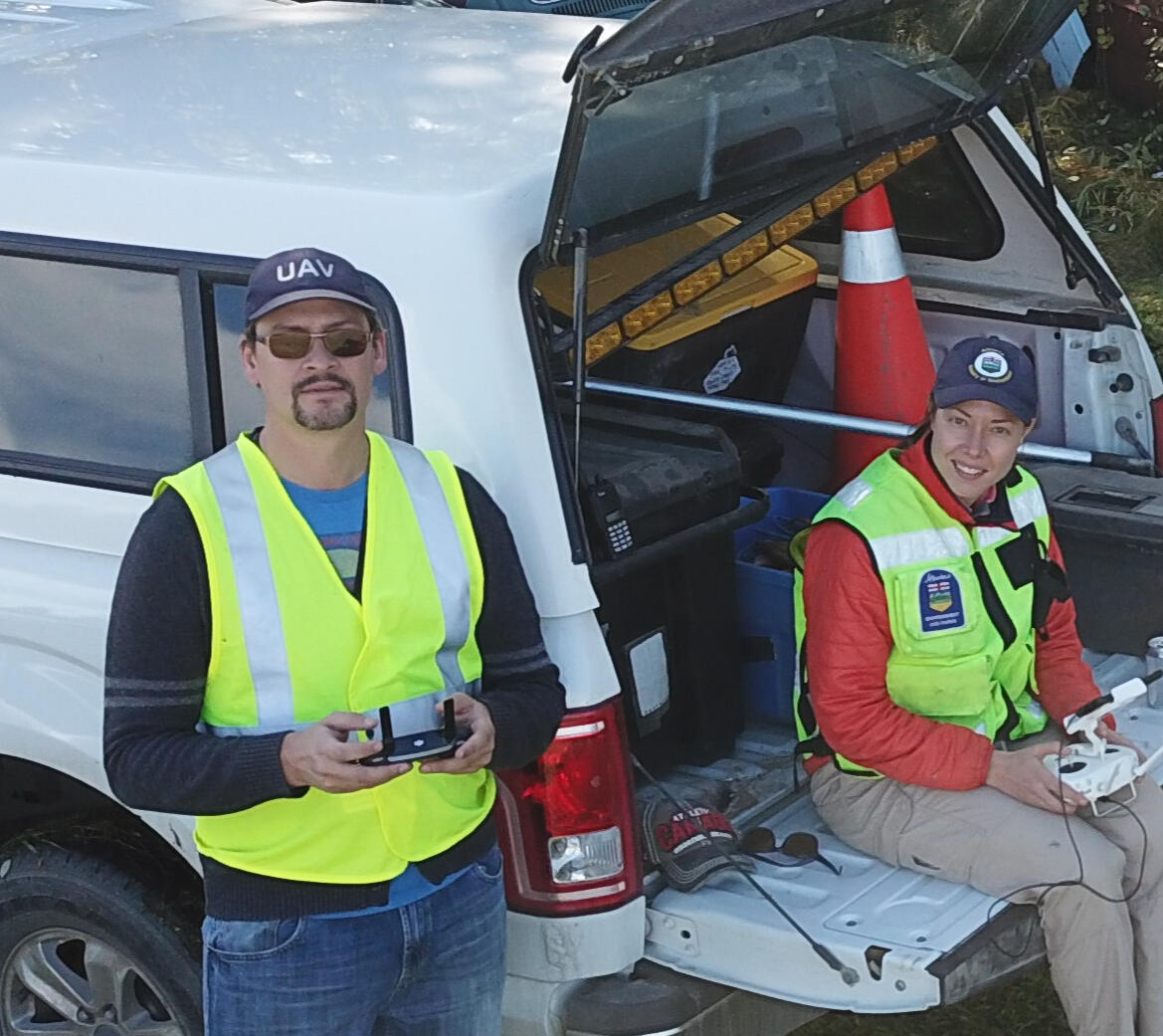
For over 15 years, including a decade at the forefront of the Canadian RPAS ecosystem, I haven't just observed the evolution of aerial and spatial technology, I've been an active participant in shaping it. My journey has spanned the full spectrum: piloting RPAS, processing and analyzing remote sensing data, developing complex spatial models, managing enterprise drone programs, coordinating large-scale operations, developing provincial policy and procedures, leading regulatory affairs, driving innovation, and engaging with government at multiple levels.


About
Juhlin Remote Pilot Consulting
From Flight Lines to Forward-Thinking Strategy
Our Strengths
And Services
A Unique Synthesis of Expertise
Regulatory Strategy & Compliance
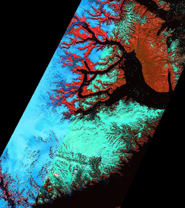
Spatial Intelligence
Enterprise Program Development & Optimization

Policy & Government Relations

Advanced Air Mobility Strategy Advisory
Our Partners

Cayres

AERIUM Analytics

FLYY

Autonomy Global

Northeast Alberta Information Hub

Blackhawk Aeronautical

Aerial Evolution
Get in touch
Your Partner in Navigating Canada's Aerial Future
Whether you're launching an AAM venture, scaling complex drone operations, integrating spatial data, or navigating the regulatory environment, we offer a perspective grounded in comprehensive, real-world Canadian experience. Let's connect to discuss how this integrated expertise can drive your strategic advantage.